Image
Map
Map
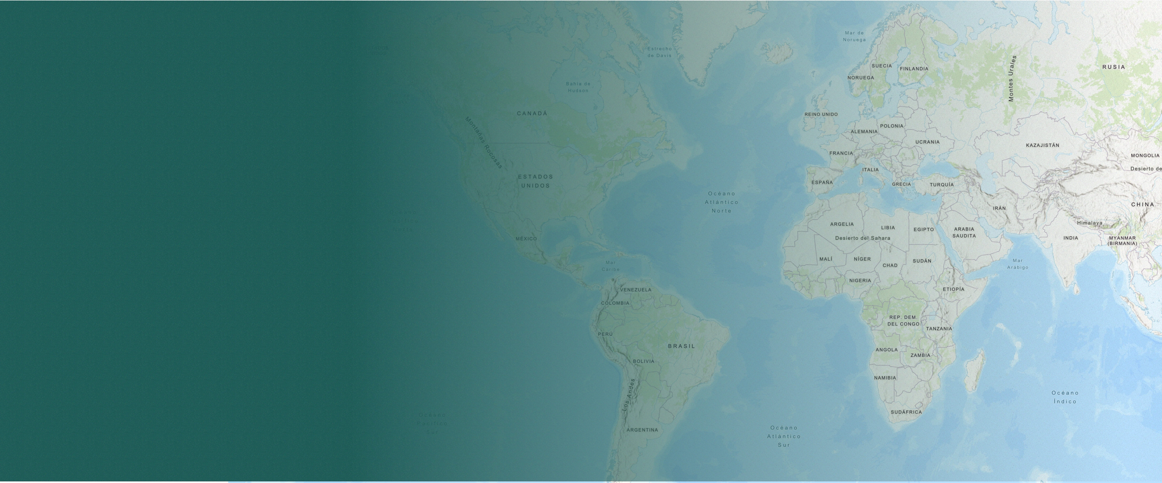
A global interactive map to help communities identify potential conflicts and opportunities to protect their natural resources and rights by providing geodata from different sources to prepare maps for decision-making.